
Mapping Spartina alterniflora on Sapelo Island
Introduction
I had the invaluable opportunity to join Dr. John Schalles’s research team on Sapelo Island, Georgia, focusing on Spartina alterniflora—a key species in salt marsh ecosystems along the East Coast of the United States. Our primary goal was not only to map its distribution but also to understand its ecological roles in the face of escalating climate impacts.
Project Background
Since 2002, the Georgia Coastal Ecosystem Long Term Ecological Research (LTER) site has utilized drone, airborne hyperspectral, and satellite imagery to analyze temporal and spatial productivity patterns in coastal ecosystems. Our research on Sapelo Island focuses on the critical Spartina alterniflora, commonly known as smooth cordgrass. This species is fundamental to coastal marsh ecosystems, providing erosion control and habitat structure. The study investigates the significant decline in Spartina growth since the early 2000s, attributed to factors including storm surge effects, creek head erosion by mud crabs, marsh die-back from snail predation, and rising sea levels. Additionally, we explore how river discharge and sea level fluctuations impact the biomass and health of these grasses, essential for devising effective conservation strategies.
Methodology
We combined traditional remote sensing techniques with cutting-edge drone technology to achieve high-resolution data collection. Utilizing Landsat 5 Thematic Mapper satellite data, we gained broad regional snapshots of the marshlands, complemented by drone flights with a DJI Matrice 210 equipped with a 6-band Micasense Altum camera that provided localized, detailed multispectral images. This approach allowed us to perform precise biomass estimations and validate them against ground-truth data.
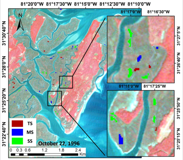
Figure: Landsat 5 color infrared image of Sapelo Island, GA and surrounding marshes showing pixel clusters of different Marsh Cordgrass size classes within the study site. Image credit: O’Donnell and Schalles, 2016.
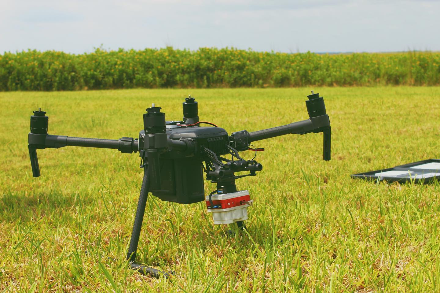
Figure: Dji Matrice equipped with the 6-band Micasense Altum multispectral sensor.
To ground-truth our remote sensing data and gain direct ecological measurements, we conducted biomass sampling. This involved clipping Spartina plants within designated plots, drying them in a lab to remove all moisture, and weighing the dried samples. This process helped us quantify the biomass and validate the health assessments derived from our imagery. Trekking through salt marshes is muddy work!
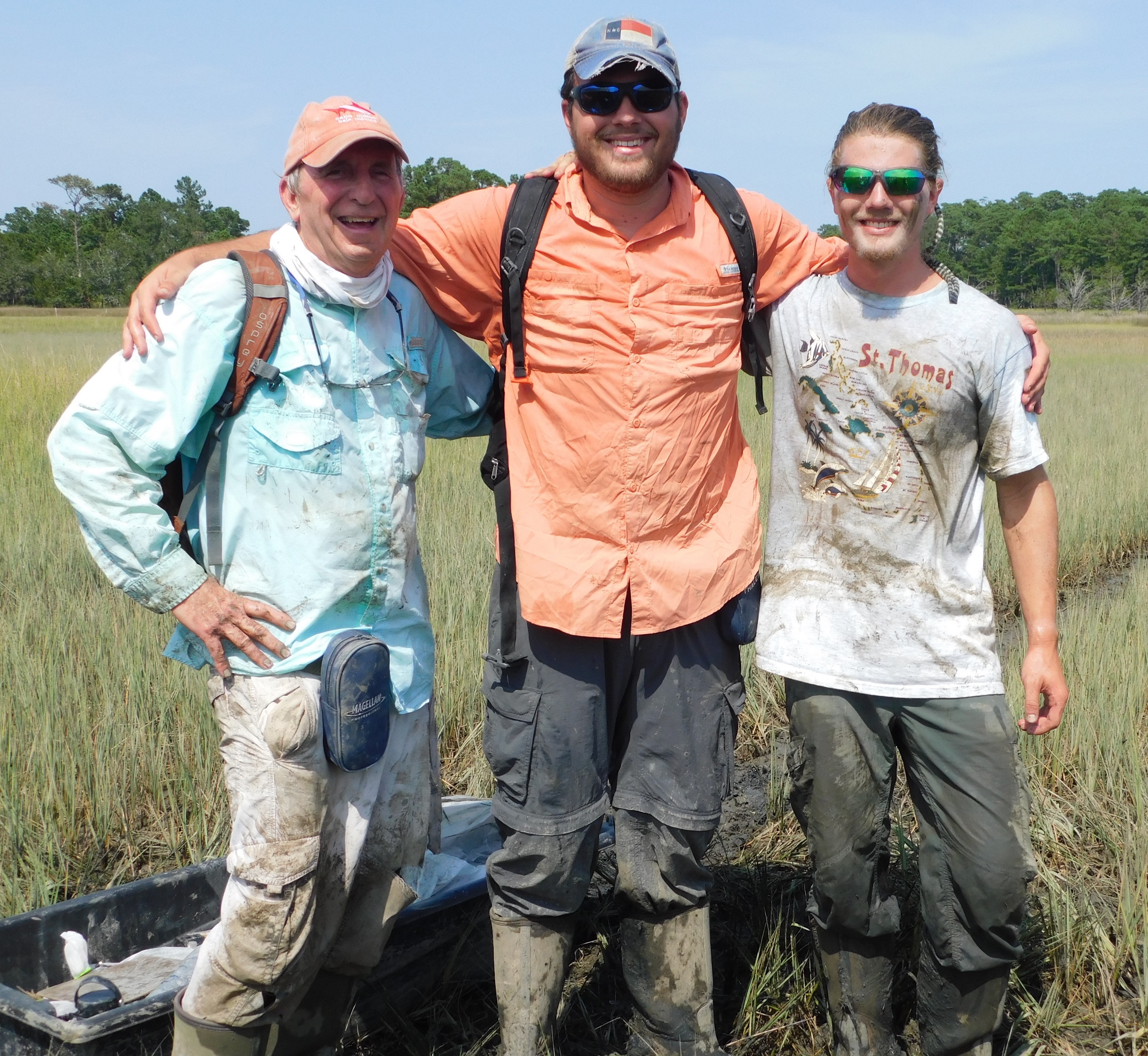
Figure: In the muck collecting Spartina samples. (From left: John Schalles, Harrison Currin, Me).
Findings and Impact
Our integrated methodology, supported by high-resolution drone imagery, not only highlighted spatial and temporal trends in Spartina coverage but also detailed significant biomass declines over decades. The regression models developed from our drone flights are now being applied to adjacent marshes, enabling ongoing monitoring and rapid responses to further declines.
Conclusion
Working with Dr. Schalles and his team on this cutting-edge project has not only sharpened my skills in remote sensing and ecological field methods but also highlighted the critical role of advanced technologies in understanding and conserving our natural environments. The project demonstrated how innovative tools like drones can revolutionize ecological monitoring and conservation efforts.
Additional Comments
Alongside my research activities, I had the pleasure of participating in the 14th annual Sapelo Island Lighthouse 5K Run, an Independence Day tradition. The race follows a scenic route from the Nannygoat Beach Parking Lot to the iconic Sapelo Lighthouse and back. I was thrilled to win the race with a time of 18:42, adding an exciting personal achievement to my summer on Sapelo Island.
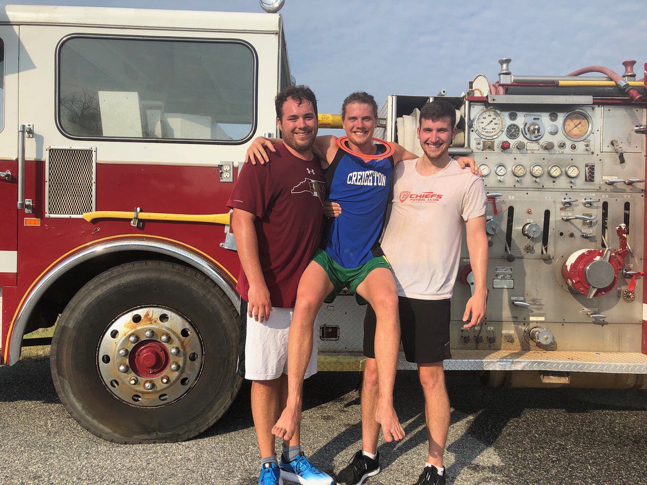
Figure: Post 5k finish! (From left: Harrison Currin, Me, Bradley Gavrielides).